Long before the age of European exploration, the Greeks were already aware of a mysterious and wealthy island off the southern tip of India. The first detailed account came from Megasthenes, a Greek ambassador to the court of the Mauryan Emperor Chandragupta.
The Ambassador to India
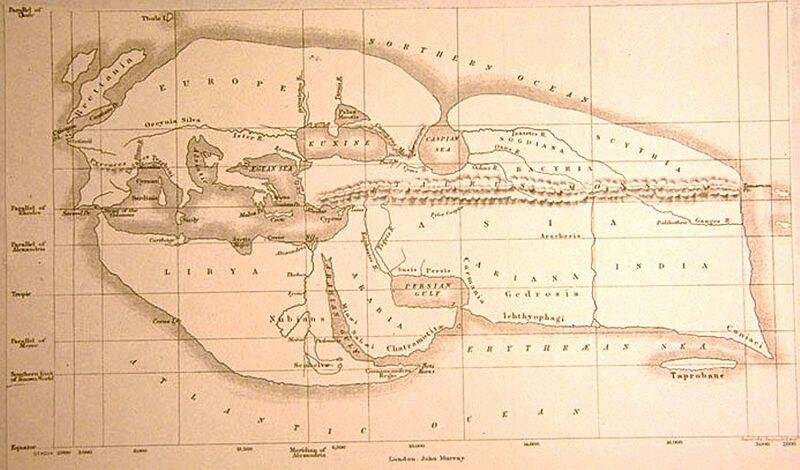
Megasthenes wrote his famous work, Indica, around 300 BC. Although the original text is lost, fragments preserved by later historians like Pliny and Strabo give us a glimpse of his observations. He was the first Westerner to provide a substantive description of Sri Lanka, which he called Taprobane (likely derived from the Sanskrit Tamraparni).
Taprobane: The Island of Gold
In his accounts, Megasthenes described Taprobane as an island separated from the mainland by a river, richer in gold and pearls than India itself. He noted the abundance of elephants, which he claimed were larger and more ferocious in war than their Indian counterparts. His writings painted a picture of a land of immense natural wealth, sparking the curiosity of the Mediterranean world.
The Greek Connection
Megasthenes’ knowledge likely came from the thriving trade networks between India and Sri Lanka. Interestingly, ancient chronicles mention a quarter for “Yonas” (Greeks) in the city of Anuradhapura during the reign of King Pandukabhaya (4th century BC), suggesting that Greek merchants or settlers might have been living on the island even before Megasthenes put pen to papyrus.